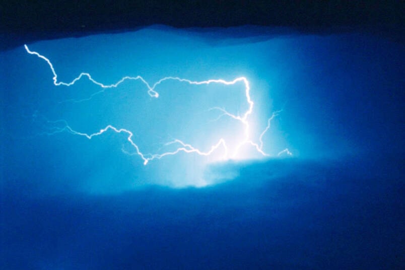
Alertable and Environment Canada are notifying people that conditions are favourable for the development of dangerous thunderstorms in the Okanagan, Arrow Lakes and Boundary regions that may be capable of producing large hail and torrential rain.
Heavy downpours can cause flash floods and water pooling on roads.
Severe thunderstorm watches are issued when atmospheric conditions are favourable for the development of thunderstorms that could produce one or more of the following: large hail, damaging winds, torrential rainfall.
Please continue to monitor alerts and forecasts issued by Environment Canada. To report severe weather, send an email to BCstorm@ec.gc.ca or Tweet reports using #BCStorm.
Just before 3 p.m. Thursday, May 18, Environment Canada meteorologists were tracking a severe thunderstorm in the Central Okanagan near Kelowna, five kilometres east of Highway 33, capable of producing strong wind gusts, up to nickel-size hail and heavy rain.
This thunderstorm was slowly moving to the northeast at five km,resulting in heavy downpours which could cause flash floods and water pooling on roads.
READ MORE: Rising Shuswap River forces closure of Enderby park, boat launch
READ MORE: Vernon Winter Carnival game for 2024 theme
roger@vernonmorningstar.com
Like us on Facebook and follow us on Twitter.