The Regional District of Kootenay Boundary emergency operations centre says it’s monitoring river and creek levels daily with regional snowpack levels currently at 122 per cent of normal.
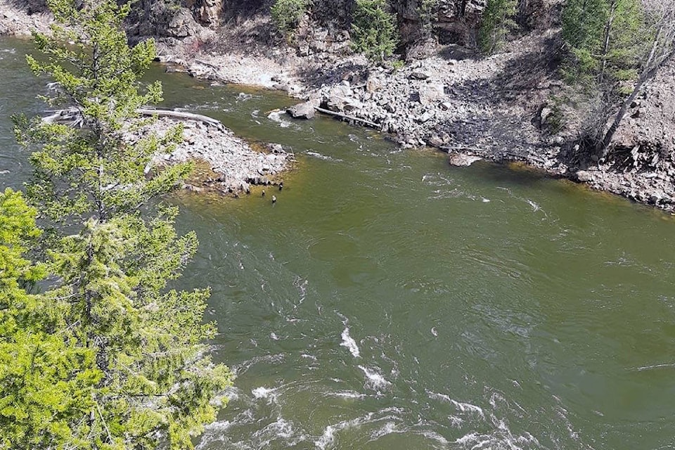
Emergency director Mark Stephens said the Kettle and Granby river systems near Grand Forks and creeks around Trail are being monitored the closest.
READ MORE: Local Salvation Army workers assist after Cache Creek flooding
Stephens said snow has already started to melt at mid-to-high elevations in the region.
With rising water levels, Stephens said you should stay away from eroding river and creek banks.
Stephens said you should also report any major erosion or flooding by calling the province’s emergency coordination centre at 1-800-663-3456.
In May of 2018 , hundreds of people in Grand Forks and Osoyoos were displaced due to severe flooding.
The Regional District of Kootenay Boundary has 250,000 sandbags in various communities to help reduce the risk of localized flooding.
@connortrembley
connor.trembley@castlegarnews.com
Like us on Facebook and follow us on Twitter.