PHOTOS: Grand Forks flooding

The water is flowing over Highway 3 like a river. Traffic is travelling through the water slowly.The water is flowing over Highway 3 like a river. Traffic is travelling through the water slowly.
Downtown Grand Forks is covered with at least a foot of water.Downtown Grand Forks is covered with at least a foot of water.
Local youths in the flood zone.Local youths in the flood zone.
The playground is no place to play today.The playground is no place to play today.
The municipal campground, located near the river, is closed for the duration.The municipal campground, located near the river, is closed for the duration.
High water on the playground.High water on the playground.
A view of a downtown Grand Forks street.A view of a downtown Grand Forks street.

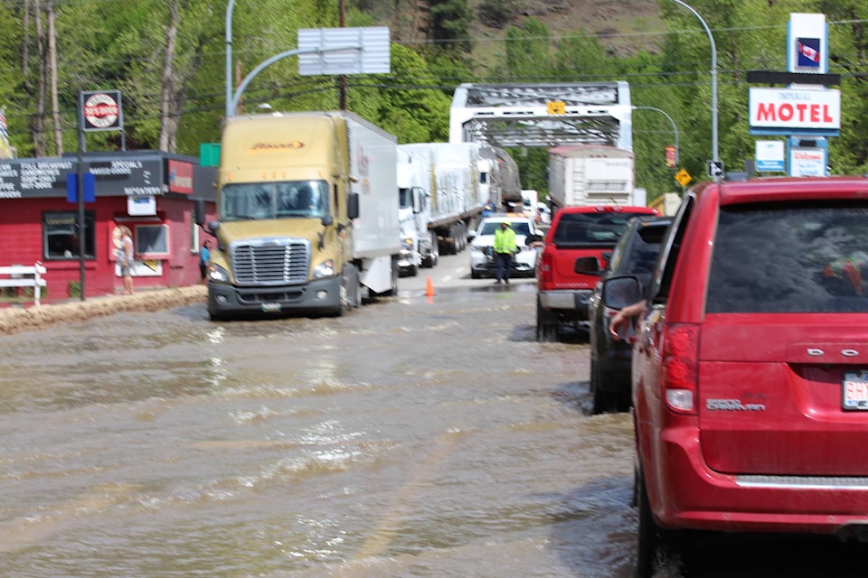
More than 2,500 people have been forced out of their homes in the Kootenay-Boundary region as water levels along rivers continue to rise.

Evacuation orders have been issued to 1,390 properties affecting an estimated 2,800 residents Boundary-wide in the last 36 hours.

The 1,125 evacuated homes include 380 in Grand Forks and the south valley, 114 in the Christina Lake area, 89 in the North Fork area, 12 in Greenwood, 35 in Midway, six in Rock Creek, 142 in the Christian Valley area, 141 in the Beaverdell area, 158 in the Carmi area and 48 in Westbridge and north.

The rivers were expected to peak Thursday night and into Friday morning, and it is expected levels could remain high for a prolonged period.

Photos by Eric Lawson.